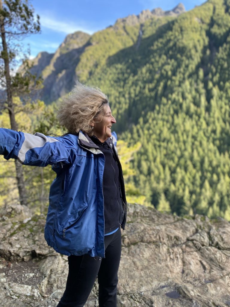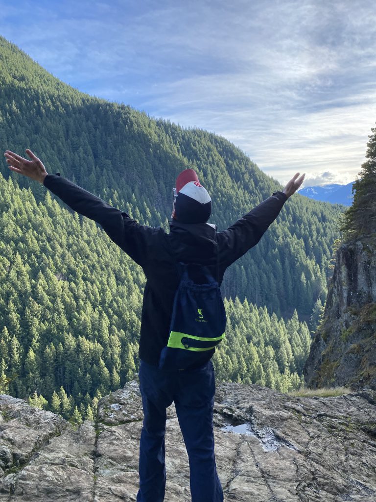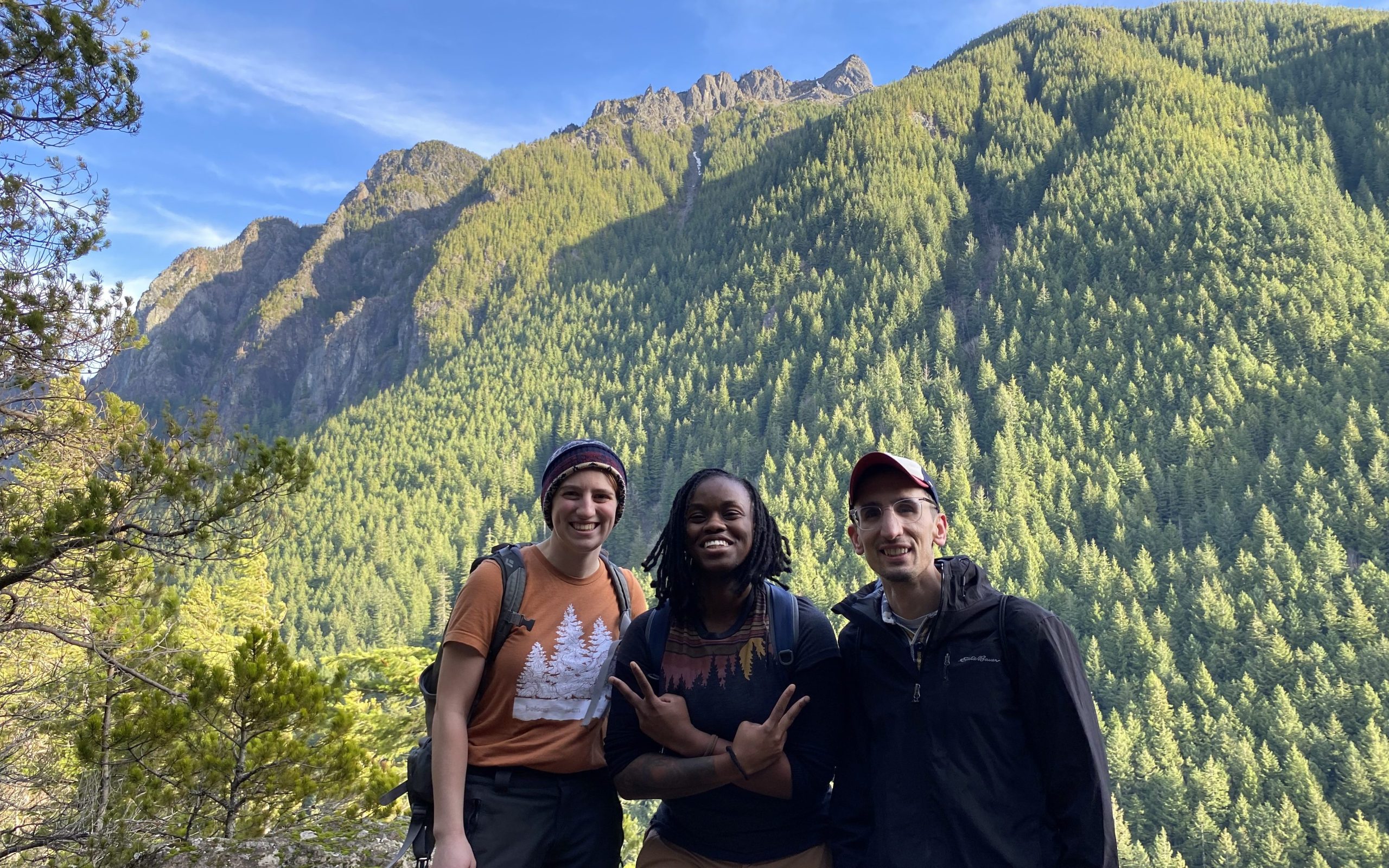
Community Hikes
Community Hikes
All community hikes are free of charge. We provide transportation, guide support, and hype! Hikes are open to all ages, participants under 12 must be accompanied by a parent or guardian.
Please register so we know how many people to expect! Some locations might not be accessible to all ability levels, scroll down for dates and location details.
Meet Location: Hwy 512 Park-and-Ride, 10617S S Tacoma Way, Lakewood, WA 98499
Meet Time: 8 AM
What to bring: Packing List
We also suggest bringing trekking poles, binoculars, and a fully charged cell phone for pictures. Consider downloading some nature ID apps to turn your phone into a handheld naturalist dictionary!
Return Time: Varies depending on location and group speed
Accessibility: We try to offer both a moderate/challenging trail and an easy, wheels accessible trail each weekend. Please choose a hike that fits your fitness and mobility levels! Please note that while some trails are stroller and wheelchair accessible, our vehicles do not have lifts or ramps, and can accommodate only collapsible strollers and wheelchairs.
September 23
Route: Duckabush River Trail (WTA link)
Length: 10.5 miles, out and back
Elevation gain: 2,300 ft
Difficulty: Moderate/Hard
Highlights: Views, river trail
October 4
Route: Lake Ingalls (WTA link)
Length: 9 miles, out and back
Elevation gain: 2500 ft
Difficulty: Moderate, we will hike about 1.5 miles an hour and stay together
Highlights: LARCHES!!!!
Register
October 7
Route: Tubal Cain Mine and Tull Canyon (WTA link)
Length: 7.2 miles, out and back
Elevation gain: 1,600 ft
Difficulty: Moderate/Hard
Highlights: Historic mines, 1952 B-17 crash site
October 8
Route: Myrtle Falls (WTA link) and Nisqually Vista Loop (WTA link)
Length: Myrtle Falls: 0.8 miles, out and back; Nisqually Vista: 1.1 miles, loop
Elevation gain: Myrtle Falls, 185 ft, Nisqually Vista, 200 ft
Difficulty: Easy, wheelchair and stroller accessible. Both paved trails, Nisqually Vista trail has a few stone steps.
October 14
Route: Lena Lake (WTA link)
Length: 7.2 miles, out and back
Elevation gain: 1,300 ft
Difficulty: Moderate
Highlights: Old growth forest, waterfalls, Lena Lake
October 15
Route: Mima Mounds (WTA link) and McLane Creek (WTA link)
Length: Mima Mounds: 2.75 miles total, multiple loops; Nisqually Vista: 1.5 miles, loop
Elevation gain: Mima Mounds: 10 ft; Mclane Creek: 50 ft
Difficulty: Easy, wheelchair and stroller accessible
Highlights: National Natural Landmark, birdwatching.